It integrates a MEMS Inertial Measurement Unit (IMU) and a Global Navigation Satellite System (GNSS) receiver, with a built-in navigation algorithm that directly outputs position, velocity, and attitude data. The dual-inertial design (Inertial + GNSS) ensures stable navigation even in GNSS-denied environments.
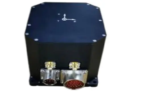
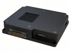
Centered on high-precision attitude measurement, integrated with self-alignment (north-finding) function, and compatible with external odometers for accurate dead reckoning.
System-Level Accuracy: Self-Aligning North ≤3mil, Attitude ≤0.5mil
Industry Positioning: Benchmark for High-Precision Automotive Applications
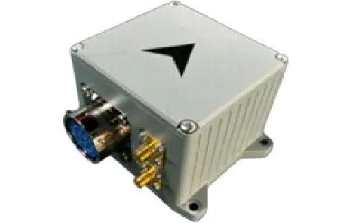
MEMS Inertial Measurement Unit (MEMS IMU)
Outputs raw data from 3-axis gyroscope (angular rate) + 3-axis accelerometer (linear acceleration). No built-in navigation solution; requires external algorithms for navigation processing.
System-Level Accuracy: North Seeking ≤0.5*sec (L), Heading Hold ≤0.5°/h
Industry Positioning: Tactical Grade North Seeker
Scene Matching Navigation Module
Based on visual map matching technology, it outputs position information and can be externally connected with an IMU to enhance navigation robustness. It serves as a supplementary solution for visual navigation.
.png)