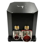
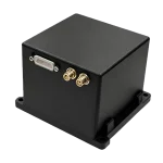
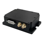
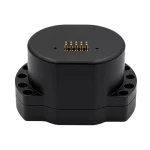
High Precision | High Stability | High Cost‑Effectiveness
tactical | Industrial | Consumer Grade
Multi‑Sensor Fusion Navigation
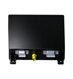
MNAV-BS10 | MEMS INS/GNSS
Light‑weight & cost‑effective vehicle POS with BeiDou integration, supporting autonomous alignment for heading and horizontal‑attitude output, and autonomous navigation via odometer.
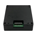
MNAV-CH10 | MEMS INS/GNSS
Features high‑performance MEMS gyros, accelerometers and GNSS receiver chip, with static self‑alignment for integrated navigation via GNSS position, velocity and heading fusion.
MNAV-CH15 | MEMS INS/GNSS
Features high‑performance MEMS gyros, accelerometers and GNSS receiver chip for real‑time computation of carrier heading, position, 3D velocity and attitude.
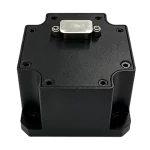
IMU-BA05 | MEMS IMU
High‑reliability & cost‑efficient 6‑axis MEMS inertial sensor unit for navigation, control and measurement of vehicles, vessels and UAVs.
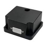
IMU-BA01 | MEMS IMU
Cost‑effective 6‑axis IMU for NAV, attitude stabilization, control and measurement. It supports hardware‑software customization, software upgrade and integrated NAV with external devices.
IMU-BA80 | MEMS IMU
Compact & high‑precision MEMS IMU with integrated MEMS magnetometer and barometer, offering high reliability for precision navigation, control and dynamic measurement of carriers.
IMU-BA50 | MEMS IMU
Industrial‑grade & cost‑efficient 6‑axis MEMS inertial sensor unit for inertial navigation, attitude control and measurement.
MNF-HA50 | North‑Seeker
6‑axis MEMS north‑seeker with zero‑velocity update and bias calibration, suited for navigation, attitude stabilization, control and measurement.
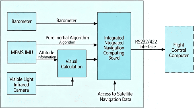
This system adopts visual-inertial fusion navigation technology, allowing the aircraft to operate completely independent of GNSS signals. It stably outputs position, heading and attitude data throughout the entire flight phase from takeoff to landing.
The system is composed of a barometer, vision processing module, MEMS inertial measurement unit (IMU), integrated navigation algorithm board, and visible/infrared cameras.
Its fusion algorithm integrates satellite navigation, visual navigation and high-precision tactical-grade MEMS inertial & attitude solving algorithms. Equipped with adaptive confidence thresholds, the system can automatically switch among GNSS, visual and pure inertial navigation modes. This guarantees continuous round-the-clock output of latitude, longitude, altitude, heading and attitude information.
In low-visibility or feature-sparse scenarios including oceans, grasslands, lakes and deserts, the system relies on high-performance tactical-grade MEMS inertial navigation to sustain positioning accuracy and meet operational requirements.
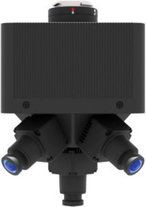
This lightweight, high-agility panoramic gimbal pod is purpose-built for UAVs, optimized for time-sensitive missions. Equipped with five 5MP high-resolution visible-light cameras and an onboard computing unit, it integrates visual neural network-based image processing, spatially correlated multi-video stitching, and proprietary smart compression. It delivers all-in-one onboard capabilities including real-time panoramic stitching, AI inference, intelligence cropping, and low-bandwidth high-speed transmission.
Designed to support “capture-and-use” real-time workflows, it meets the demands of time-critical UAV inspection tasks, with broad applications in border patrol, disaster response, emergency rescue, security monitoring, aerial reconnaissance, and field command operations.
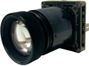
This low-light camera module is equipped with a self-developed AI imaging engine, a high-performance main control chip, and a high-sensitivity image sensor. It enables clear imaging even at extremely low illumination levels down to 0.0001Lux. With built-in strong light suppression and AI noise reduction, it delivers stable and smooth video performance in complex in-vehicle environments, providing high-quality visual support for night-time environmental perception. It is widely used in automotive driver assistance and low-light sensing applications.
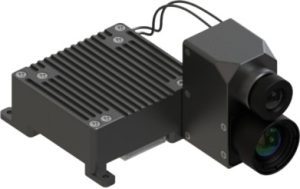
The AIP-VI85 Intelligent Electro-Optical Tracking Module is designed for compact mobile platforms, integrating a high-performance image processing unit with multi-source camera interfaces. It supports target recognition, tracking, and video output functions, providing reliable visual perception for applications such as security monitoring, environmental observation, and emergency search & rescue.
NovaSys Technology is led by a professional R&D team of professors and doctors with over 10 years of in-depth experience in inertial navigation. We specialize in high-end MEMS inertial navigation, AI vision and multi-sensor fusion algorithms, providing one-stop autonomous navigation solutions that are high-performance, miniaturized, lightweight, low-power and cost-effective to meet the demands of intelligent, miniaturized and low-cost unmanned systems.
As a trusted provider of autonomous navigation solutions, NovaSys owns core technological advantages in MEMS inertial navigation, dynamic positioning and multi-sensor fusion. Our products are optimized for miniaturization, high performance and low power consumption, widely used in UAVs, UGVs, robotics, surveying and mapping, security and other fields.